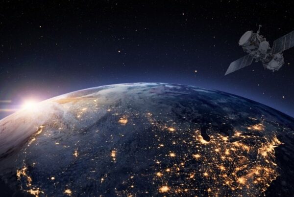
When people hear the term space data, they often think of astronauts floating above the Earth or complex satellites circling in orbit. But space data is much closer to our everyday lives than you might realise. And, it’s already shaping the way we live, work, and connect.
What is Space Data?
Space data refers to the information continuously collected by satellites and other orbital technologies. This includes Earth observation imagery, which captures changes in land use, vegetation, and water systems; Global Navigation Satellite System (GNSS) signals, better known as GPS, which provide positioning, navigation, and timing services; and atmospheric data that measures everything from temperature and humidity to greenhouse gas concentrations.
Together, these streams form a critical layer of digital infrastructure that underpins modern economies and daily life.
How Space Data Powers Everyday Life
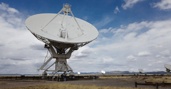
Although it often goes unnoticed, space data underpins countless services. Satellite television and broadband internet rely on geostationary satellites transmitting signals across continents. GNSS data powers ride-hailing apps, maritime shipping, drone operations, and precision agriculture. Weather forecasts draw on multispectral satellite sensors to track storm systems and rainfall in real time. Even technologies we take for granted, such as MRI imaging in hospitals or memory foam in household products, were developed as spinoffs of space research.
In technical terms, space data can be structured (for example, raster and vector geospatial files used in GIS software) or unstructured (such as raw telemetry from satellites). The ability to process, analyse, and apply this data requires not just access but also computing power, specialised algorithms, and skilled human capital.
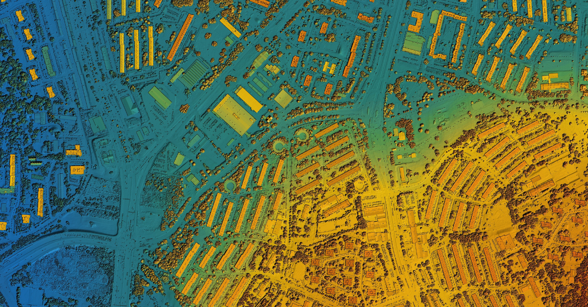
Example of GIS Map Photo Credit: CANVA
Kenya’s Strategic Opportunity
For Kenya, the potential of space data is both economic and developmental. Satellite imagery can be applied to monitor crop yields, predict drought impacts, and support insurance models for smallholder farmers. GNSS data enhances logistics efficiency in Kenya’s transport sector, while Earth observation feeds into urban planning, infrastructure monitoring, and disaster risk reduction.
Policymakers can also use longitudinal space-based datasets to evaluate progress on climate commitments and track land degradation.
The Ecosystem Maturity Assessment (EMA) of Kenya’s space sector found that while innovation culture and networking assets are strong, the application of space data across industries is still limited. There is a pressing need to align curricula and training with data analytics skills, and to ensure equitable access to data for innovators outside Nairobi or major research institutions.
Roadmap Interventions for Data Access
The Kenya Space Innovation Ecosystem Roadmap directly addresses these gaps and calls for the creation of an open-access data portal where innovators can retrieve high-resolution satellite imagery at low or no cost.
This will be supported by the development of High-Performance Computing (HPC) centres to process large geospatial datasets, as well as digital infrastructure investments to expand broadband access nationally.
Crucially, the roadmap links these technical interventions to ecosystem-wide capacity building: outreach programmes to raise awareness of data applications, training in geospatial analysis and machine learning, and partnerships with international agencies to expand data availability. Together, these investments aim to democratise space data so that it becomes a practical tool for entrepreneurs, researchers, and policymakers alike.
Why It Matters
Space data is not abstract; it is the raw material of decisions that affect food security, disaster response, climate adaptation, and digital innovation. For Kenya, turning this resource into an accessible public good could accelerate economic transformation and unlock new industries.
By investing in open data portals, computing capacity, and human capital, Kenya is laying the foundation to ensure that space data is not only collected — but converted into real social and economic impact.
Conclusion
Space data is not just the domain of scientists and engineers — it is an enabler of everyday services and a catalyst for national development. From guiding farmers on when to plant, to helping cities manage climate risks, to powering mobile apps and logistics systems, its applications cut across every sector of society.
Unlocking the value of space data depends on more than satellites; it requires open access, strong digital infrastructure, and skilled people who can turn raw information into actionable insights. By investing now, Kenya positions itself not only to catch up with global leaders, but to use space data as a driver of inclusive, sustainable growth.